


A continuing series of posts to highlight my small antique map collection. All scans are taken directlly from an original copy, not a reproduction.
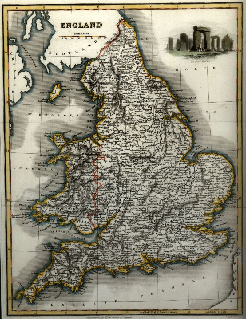
Map of England taken from James Bell’s “A System of Geography, Popular and Scientific, or a Physical, Political and Statistical Account of the World and its Various Divisions” published by Archibald Fullarton in Glasgow 1939. See previous post for detail on Fullarton.
Explore the map below using Magic Toolbox‘s excellent plugin
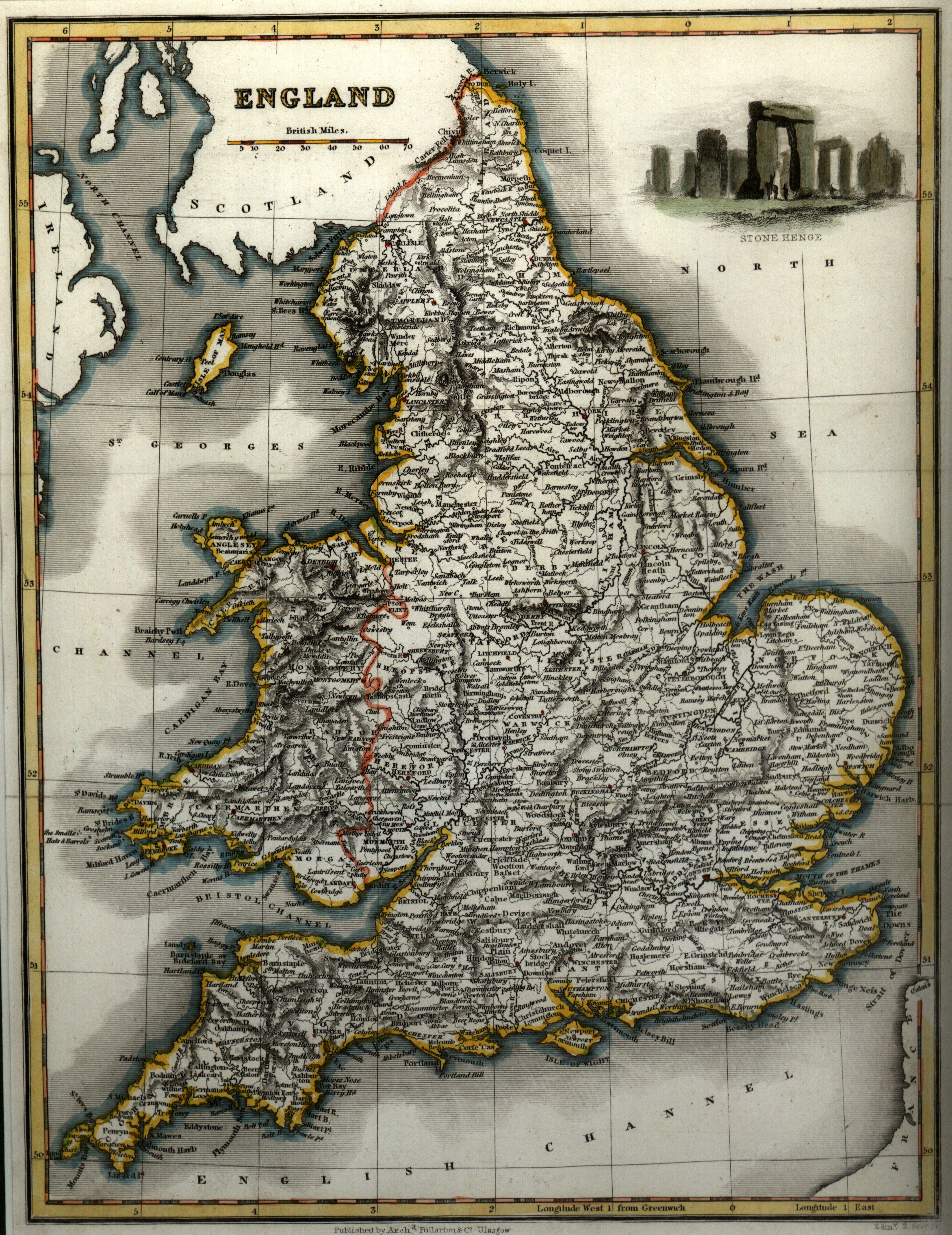
Move your mouse over image or click to enlarge
..
Watch out for the next map in this series..
Shortened URL: http://go.dave-wood.org/p


