


A continuing series of posts to highlight my small antique map collection. All scans are taken directlly from an original copy, not a reproduction.
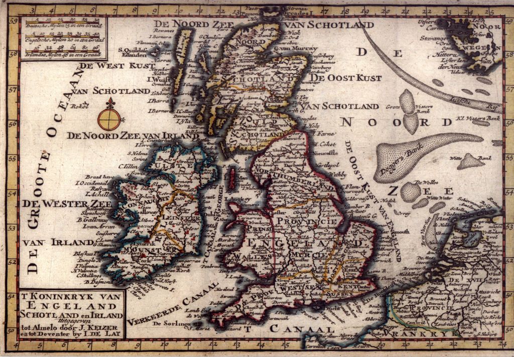
Other than knowing that this was published in 1740 by J. Keizer and I. de Lat, and that they were Dutch, I know very little more about this one. From an item on the Christie’s web site we have “De Lat was one of the few booksellers outside Amsterdam who published maps and atlases, working at Deventer 1734-1750, and using as his engraver Jacob Keyzer of Almelo.”
Explore the map below using Magic Toolbox‘s excellent plugin Magic Zoom Plus to see more detail.
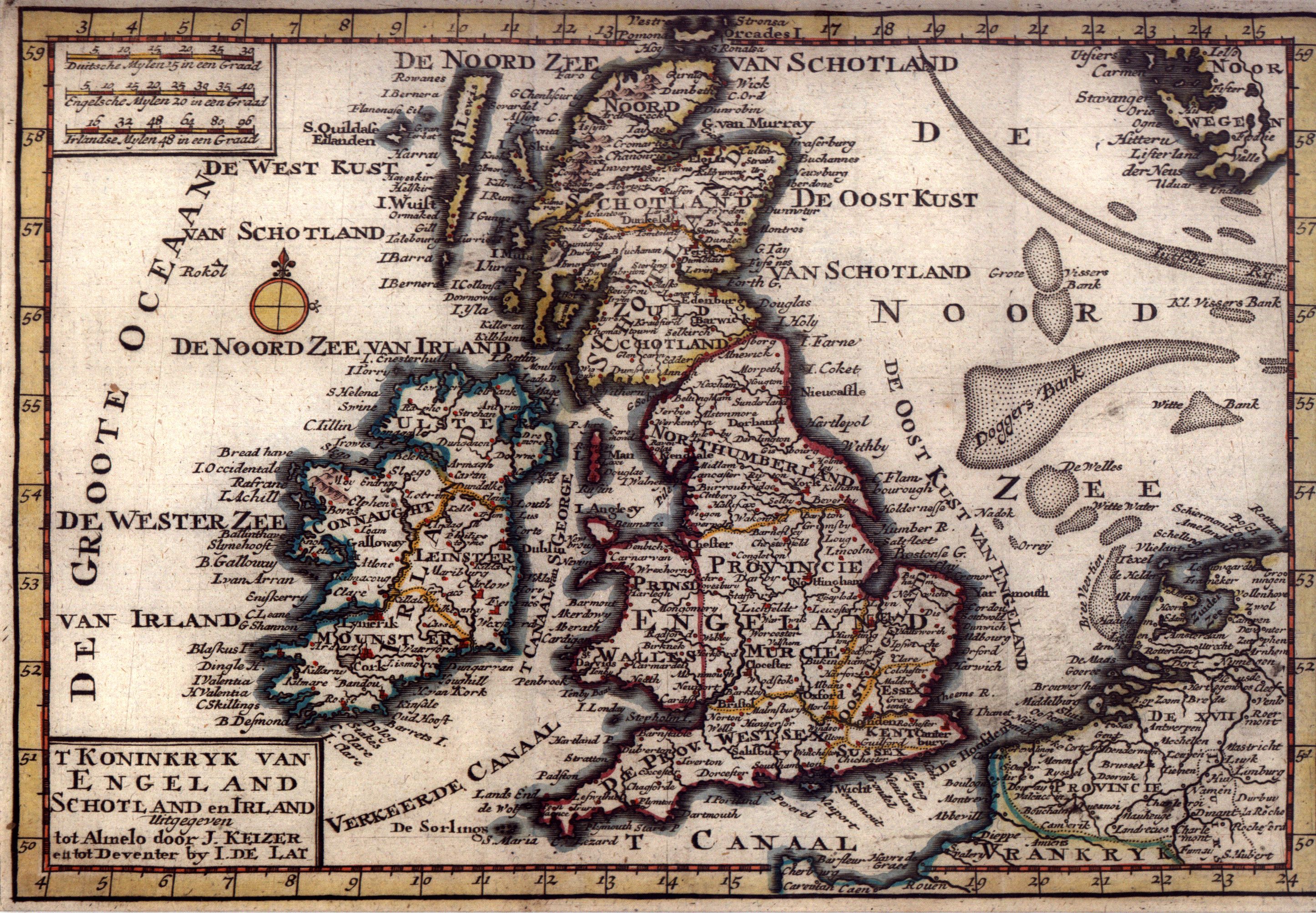
Move your mouse over image or click to enlarge
..
Watch out for the next map in this series..
Shortened URL: http://go.dave-wood.org/1e


